About us
Our mission:
RDM specializes in carrying out studies, services and spatial surveys, consulting, planning and design in the forestry, agricultural and environmental sectors. Its 20 years of experience encompasses the application of information technology solutions (Geographic Information Systems) and remote sensing techniques (use of aero photographic shots satellite images and classification systems, drones for on field shooting) in the areas of thematic cartography, surveys related to land use and land consumption classification, climate change, the study of forests for carbon storage (C02) as a renewable resource related to the use of biomass, and environmental engineering
The members
Dott. Remo Bertani – Forestry expert
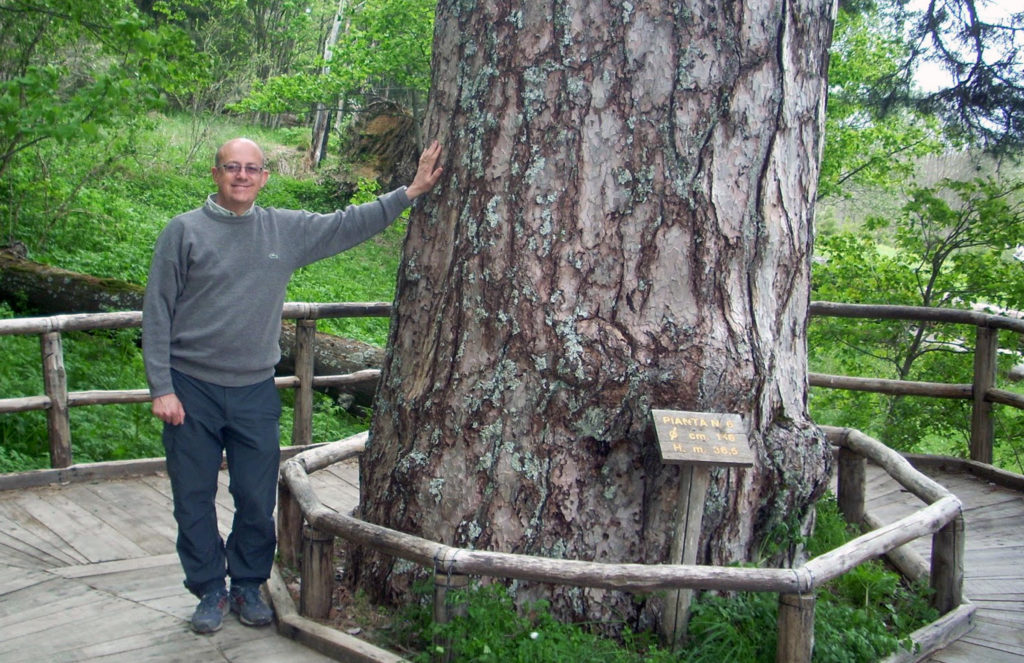 Degree in Forestry Sciences in 1981, University of Florence - Faculty of Agriculture and Forestry, member of the Agronomists and Foresters Board of Florence from 1983 (http://www.agronomiforestalifi.it/albo/iscritto?id=16928)
Professor of “Forestry Management” and “Ecological Management of the Landscape” and at Basilicata University Institute of Forest Management (Potenza – Italy) from 1987 to 1992. Teaching in the University Master on “Natural Reserves Governance” – Subject: Nature2000 areas (SPAs & SACs – SIC & ZPS) planning at Molise University (Isernia - Italy) in 2008. Teaching on forestry design at Florence University (Italy) in 2019. Training course (as teacher) on sustainable forest management (SFM) at italian Ministry of the Environment.
Managing director, project supervisor and project manager of the Company RDM Progetti S.r.l. and of the Studio RDM Consultancy at european, national and regional level such as:
- Corine Land Cover 2018 in Italy (update year 2018): carrying out land-use map at scale 1:100.000 for the Italian Regions using the standard EU CORINE Land Cover methodology;
- Publication - Sistema Informativo Forestale della Sicilia (Hofmann A., Cibella R., Bertani R., Miozzo M., Fantoni I., Luppi S. (a cura di) 2011 - Strumenti conoscitivi per la gestione delle risorse forestali della Sicilia. Sistema Informativo Forestale. Assessorato Territorio e Ambiente. Regione Siciliana 208 pp.);
- Fuel Model Map in Sicily and Puglia Regions, maps of forest fire risk for Italian National Parks;
- Studies of Forest Management and Land-use cover maps for protected areas (SCIs/SPAs of the Natura 2000 Network) in Italy.
Dott. Simone Luppi – Forestry expert
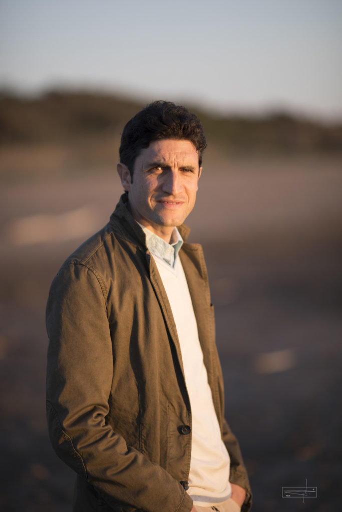 Degree in Forestry Sciences in 2004, University of Florence - Faculty of Agriculture and Forestry, member of the Agronomists and Foresters Board of Florence from 2006 (http://www.agroforprato.it/albo.asp). Project supervisor and project manager of the Company RDM Progetti S.r.l. and of the Studio RDM Consultancy. GIS expert and project manager of the whole project: forest inventory, forest map, forest information system, forestry work planning. He works at many european, national and regional project such as:
- Corine Land Cover 2018 in Italy (update year 2018): carrying out land-use map at scale 1:100.000 for the Italian Regions using the standard EU CORINE Land Cover methodology;
- Publication - Sistema Informativo Forestale della Sicilia (Hofmann A., Cibella R., Bertani R., Miozzo M., Fantoni I., Luppi S. (a cura di) 2011 - Strumenti conoscitivi per la gestione delle risorse forestali della Sicilia. Sistema Informativo Forestale. Assessorato Territorio e Ambiente. Regione Siciliana 208 pp.);
- Maps of forest categories and types in many Italian Regions, fuel model map in Sicily and Puglia Regions, Land use/cover maps in Lombardia Region, related databases.
Dott. Maurizio Putzolu – Forestry expert
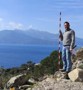
Degree in Forestry Sciences in 2007, University of Florence - Faculty of Agriculture and Forestry,
member of the Agronomists and Foresters Board of Florence from 2007 (http://www.agronomiforestalifi.it/albo/iscritto?id=17556). Administrative supervisor, tender manager and project manager of the Company RDM Progetti S.r.l. and of the Studio RDM Consultancy. Tender supervisor and project manager of the Company RDM Progetti S.r.l. and of the Studio RDM Consultancy at european, national and regional level such as:
- Forest Fire Abatement Plans (PAIB) in Tuscany Region, assessment of the environmental impact for protected areas (SCIs/SPAs of the Natura 2000 Network)
- Corine Land Cover 2018 in Italy (update year 2018): carrying out land-use map at scale 1:100.000 for the Italian Regions using the standard EU CORINE Land Cover methodology;
- Forestry design and land use map for many Italian Regions.
Our team: consultants and participants
Our team is composed by GIS consultants and graduated workers in forestry or on the environment field. The team is composed by many forest expert, graduated on the environment field, geologist and one agricultural scientist, all member of the Agronomists and Foresters Boards. Consultants and technicians are high-qualified workers, work group organized by RDM Progetti project managers Team working ensure high standard of our services for satisfaction of client needs.
Consultants
 Bagnoli Marco
Forestry expert
His 20 years of experience encompasses the application of information technology solutions (Geographic Information Systems) and remote sensing techniques (use of aero photographic shots satellite images and classification systems)
Cottoni Marco
Computer scientist
 Maffei Simone
Statistical analyst
Senior IT operative, GIS databases manager. WebGIS applications for photointerpretation, cartography, land and on-site survey activities. High resolution imagery databases management for Italian territory Image processing Supervision and testing of the point photointerpretation for the IUTI project, collaboration in URBEM project in Italy
Participants
 Amato Gabriele
Geologist
Highly detailed cartographic databases of land use and land cover (point, linear and areal thematics in dedicated geodatabases) by photointerpretation of high-resolution satellite images. Expert in geological reports
Baraldi Neri
Forestry expert
RDM participant from 2021. Specialized in GIS data processing and forest management plans Big data analyst, LiDAR data processing. Expert in R, VBA and SQL languages
 Bucca Leonardo
Forestry expert
RDM participant from 2019. Highly detailed cartographic databases of land use and land cover (point, linear and areal thematics in dedicated geodatabases) by photointerpretation of high-resolution satellite images. Forest Fire Abatement Plans (PAIB) and forest management plans
 Cantiani Francesco
Agricultural scientist
Expert in application of information technology solutions (Geographic Information Systems) and remote sensing techniques (use of aero photographic shots satellite images and classification systems) such as:
national level: highly detailed cartographic maps of land use and land cover, landscape analysis by photointerpretation of high-resolution satellite images and agricultural field controls.
local level: planning and design of green works and urban forestry, forest management plans, agricultural field controls
 Castaldi Cristiano
Forestry expert
Expert in forest management and related field survey. Highly detailed cartographic databases of land use and land cover (point, linear and areal thematics in dedicated geodatabases) by photointerpretation of high-resolution satellite images. Corine Land Cover 2006 in Italy (update year 2006)

Eusepi Gustavo
Forestry expert
Expert in forest management plans Expert in common ownership regulation.
 Fontana Giuseppe
Forestry expert
Hes 10s of experience in forest management plans, forestry design and highly detailed cartographic databases of land use and land cover (point, linear and areal thematics in dedicated geodatabases) by photointerpretation of high-resolution satellite images.
 Franci Giuditta
Forest expert
RDM participant from 2018. Highly detailed cartographic databases of land use and land cover (point, linear and areal thematics in dedicated geodatabases) by photointerpretation of high-resolution satellite images. Expert in assessment of the environmental impact for protected areas (SCIs/SPAs of the Natura 2000 Network), Forest Fire Abatement Plans (PAIB) and forest management plans with focus on floristic survey.
 Gigliello Nicola
Forestry expert
His 20s of experience in:
- Highly detailed cartographic maps for agricultural use, forest and urban maps by photointerpretation of high-resolution imagery.
- Highly detailed cartographic databases of land use and land cover, forest map by photointerpretation of high-resolution satellite images.
- Forest management plans;
- Agricultural field controls.
 Guerrasio Tancredi
Graduated on the environment field - Faunal expert
Expert in assessment of the environmental impact for protected areas (SCIs/SPAs of the Natura 2000 Network), Forest Fire Abatement Plans (PAIB) with focus on faunal survey. Expert in assessment of the environmental impact for protected areas (SCIs/SPAs of the Natura 2000 Network) with focus on wild fauna.
Lelli Marco
Forestry expert
Expert in forest management plans with focus on forest measurement and processing data. Management of pasture land with focus on floristic and botanical survey. Botanical studies, floristic and botanical survey. Highly detailed cartographic databases of land use and land cover by photointerpretation of high-resolution imagery. Expert in assessment of the environmental impact for protected areas (SCIs/SPAs of the Natura 2000 Network) and sustainable forest management.
 Mazza Erica
Forest expert
RDM participant from 2017. Forest Fire Abatement Plans (PAIB) and forest management plans with focus on field survey. Implementation and testing of thematic and fire mapping. Expert in document analysis of forest chances and related field survey for quantity of wood splinters delivered certification.
Quality management system auditor ISO standard 9001:2015 from 2018
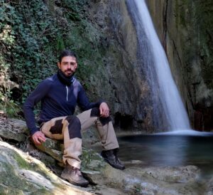 Nigrone Emanuele
Forestry expert
Phytopathology and mycology expert, member of the Mycologysts National Board. RDM participant from 2019. Expert in forest management plans, forestry design and highly detailed cartographic databases of land use and land cover (point, linear and areal thematics in dedicated geodatabases) by photointerpretation of high-resolution satellite images.
 Verdiani Erika
Graduated in Forestry
Collaborator of RDM projects since 2023. Experience in precision mapping with topographic database management. Experience in drafting AIB Prevention Plans, Forest Management Plans, design of Urban Forests. Good knowledge of FLAMMAP, FARSITE, AUTOCAD programs.
Partnerships
CSIG (Italian Geomatics Study Centre) is a Molise University spin-off established in 2011. CSIG promote geomatics activities on environmental field, research activities, exchange of scientific studies and creation of new environmental enterprises. In addition to Molise University are involved other two companies:
CSIG srl http://csigitalia.com/
Effetreseizero srl http://www.f360.it
Our customers
National Carabinieri corp of Forestry
Private forestry cooperatives in Trebbia Valley (Piacenza - Italy)
Piana Fiorentina counties and municipalities