Services
Global climate change and related damage are input for RDM activities improving to these services:
Rural and environmental planning is in constant evolution and the environmental requirements of local government bodies or private customers change quickly.
R.D.M. offers services ranging from forest planning and sustainable forest management to forest operations planning, forest fire planning, and participates in working groups in urban planning, tree stability assessments (VTAs), and management plans for protected areas (SCIs/SPAs of the Natura 2000 Network). Our services:
- Drafting of Forest Management and Land-use Plans
- Felling plans
- Management plans for SCI/ZPS (Natura 2000 Network) areas
- Forest Stewardship Plans
- Forest Fire Abatement Plans (PAIB)
- Urban planning
- Monitoring of the phytosanitary status of forests and vegetation
- Design and implementation of silvicultural interventions (reforestation, thinning, initiation to tall trees)
- Design of naturalistic engineering works
- Planning and design of green works and urban forestry
- Environmental Impact Assessment (EIA), Impact Assessment, Strategic Environmental Assessment (SEA)
- Tree stability assessments (VTAs) and design of tree replacement plans in urban settings
- Civil protection plans
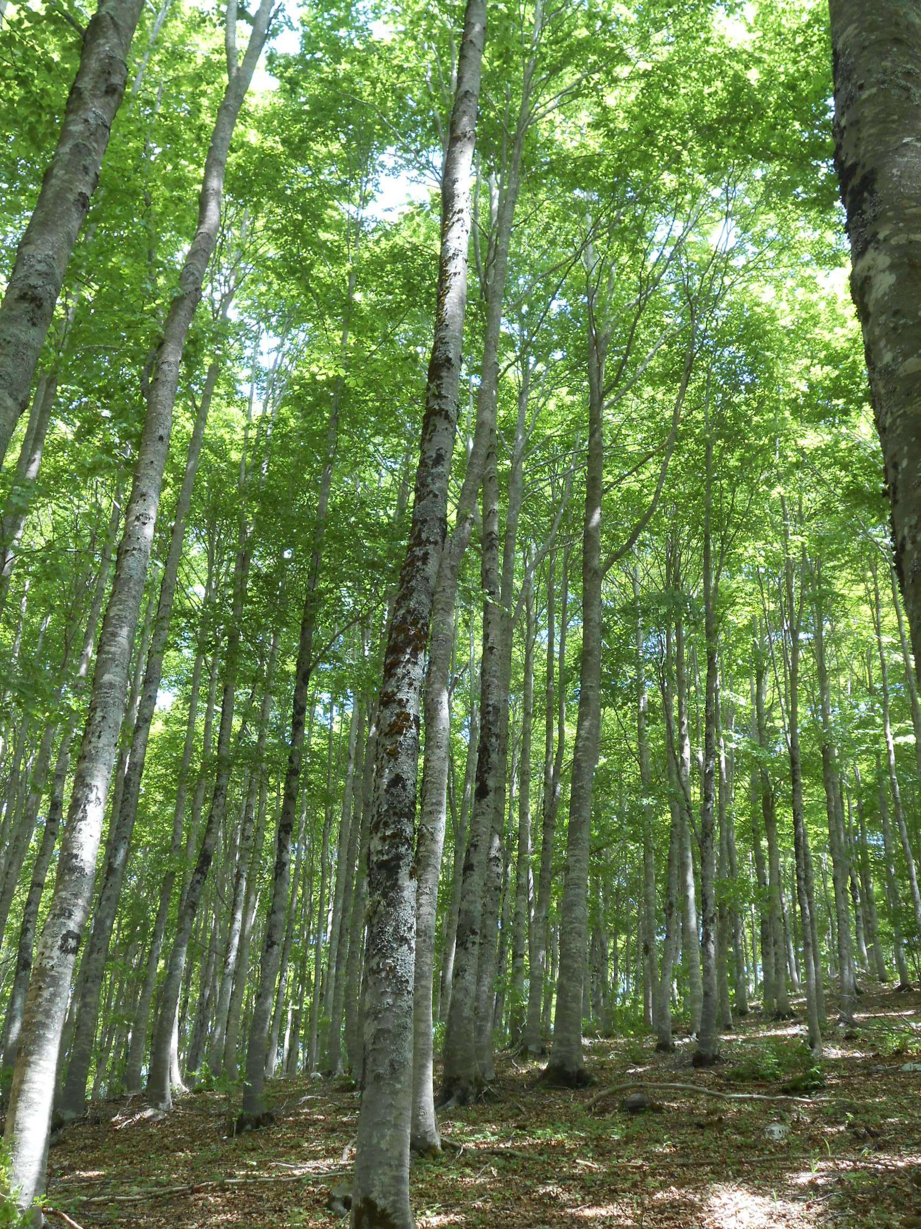
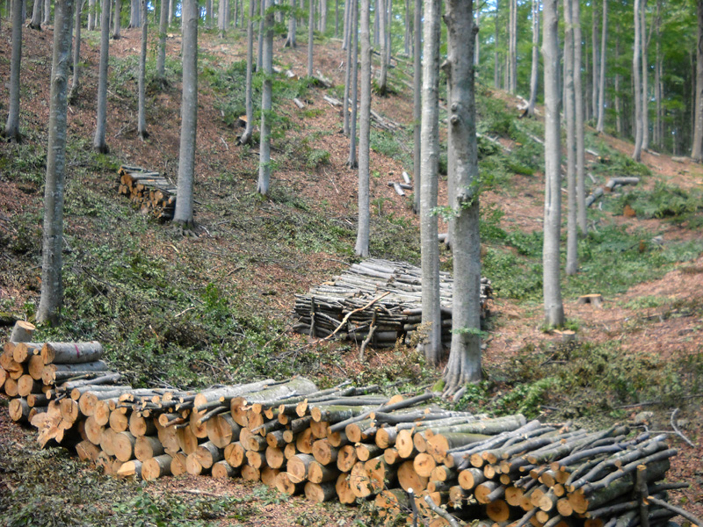
This sector is actually advanced due to the availabity of satellite images and related G.I.S. softwares. The company is able to produce thematic mapping in high detail through the use of area orthophotos, satellite images, data and LiDar technology for all the environmental estimates that can be derived (calculation of biomass volumes present, average stand heights, etc.)
R.D.M. has always kept up with the times by equipping itself with the most modern professional G.I.S. softwares and the most advanced technologies for the realization of mapping works. RDM specializes working at national and regional level using high resolution aero photographic shots. Our services:
- Land use/cover maps
- Vegetation maps
- Maps of forest categories and types
- Maps of roads and trails for both firefighting and tourism/hiking purposes
- Maps of forest fire risk
- Highly detailed cartographic databases of land use and land cover (point, linear and areal thematics in dedicated geodatabases) by photointerpretation of high-resolution satellite images
- Processing of spatial databases
- Geographic Information Systems
- Image processing
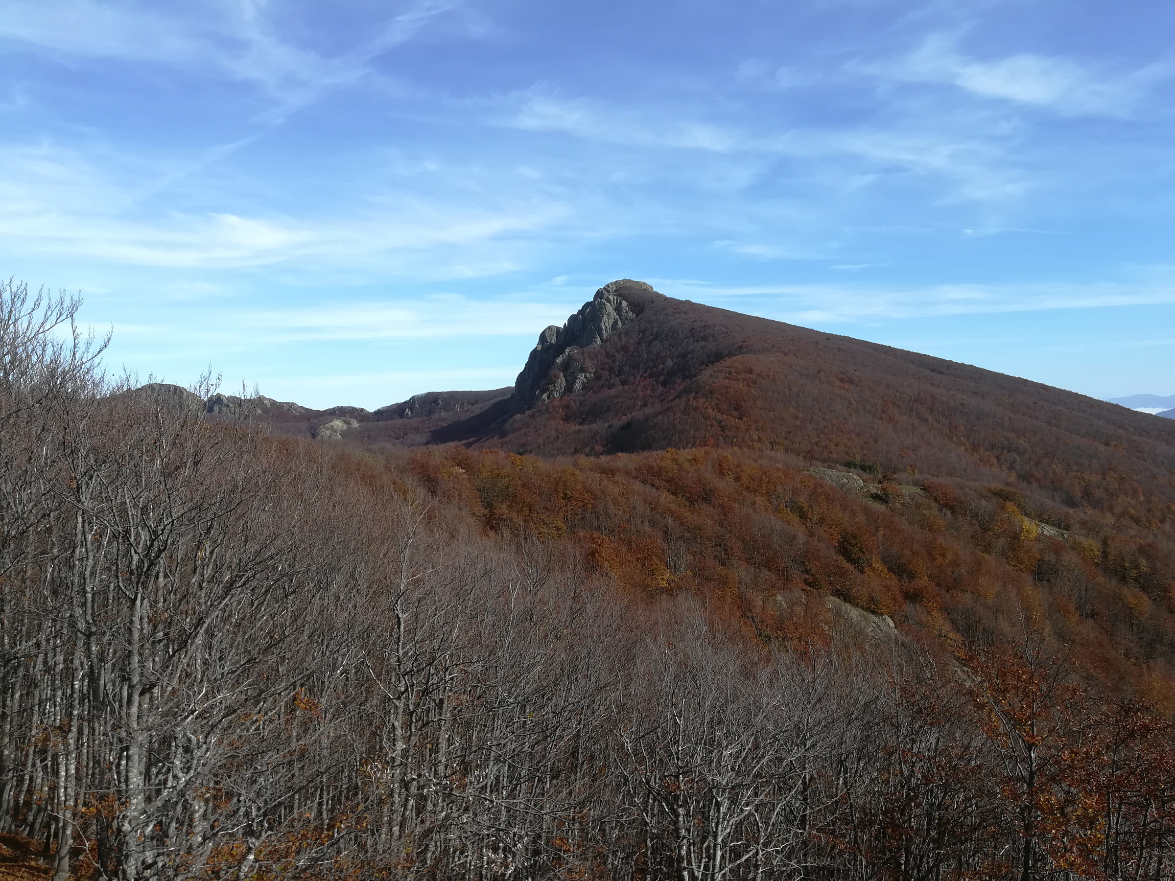
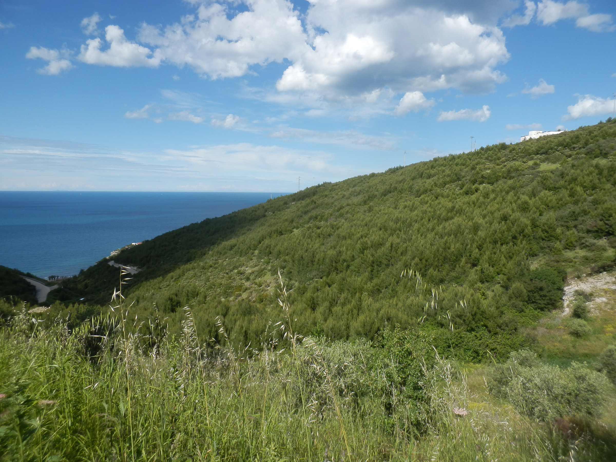
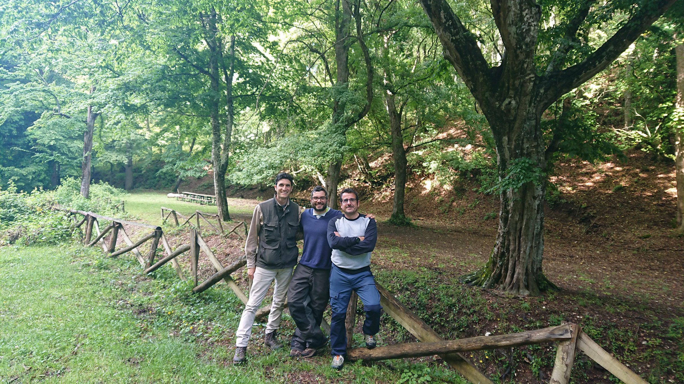
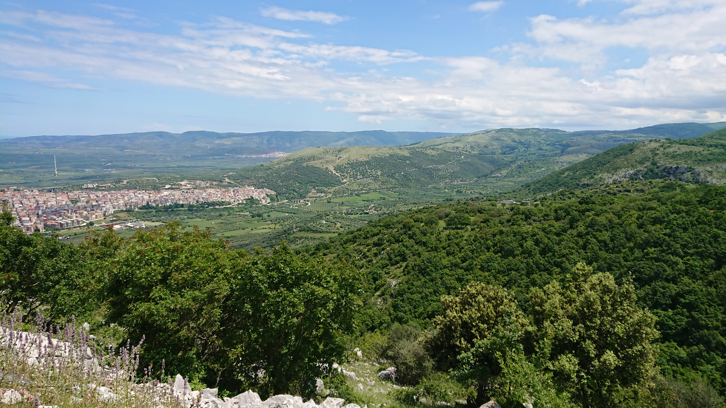
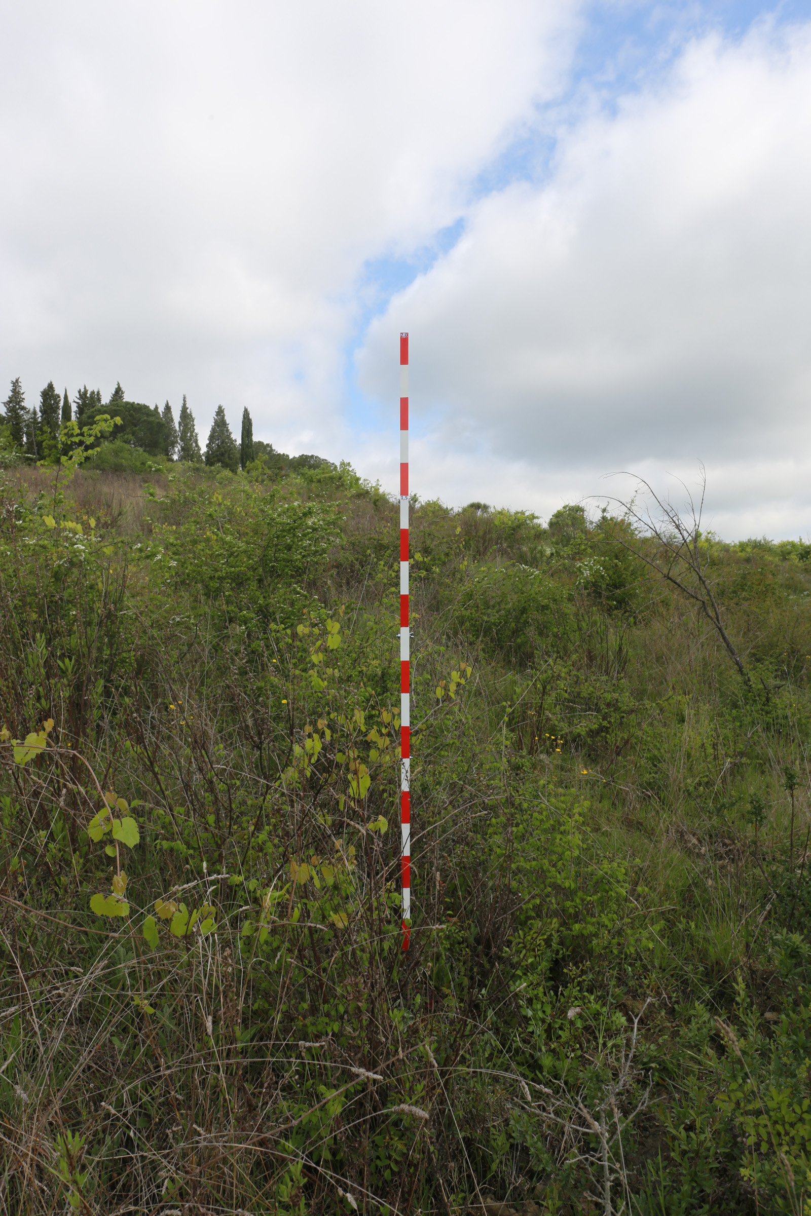
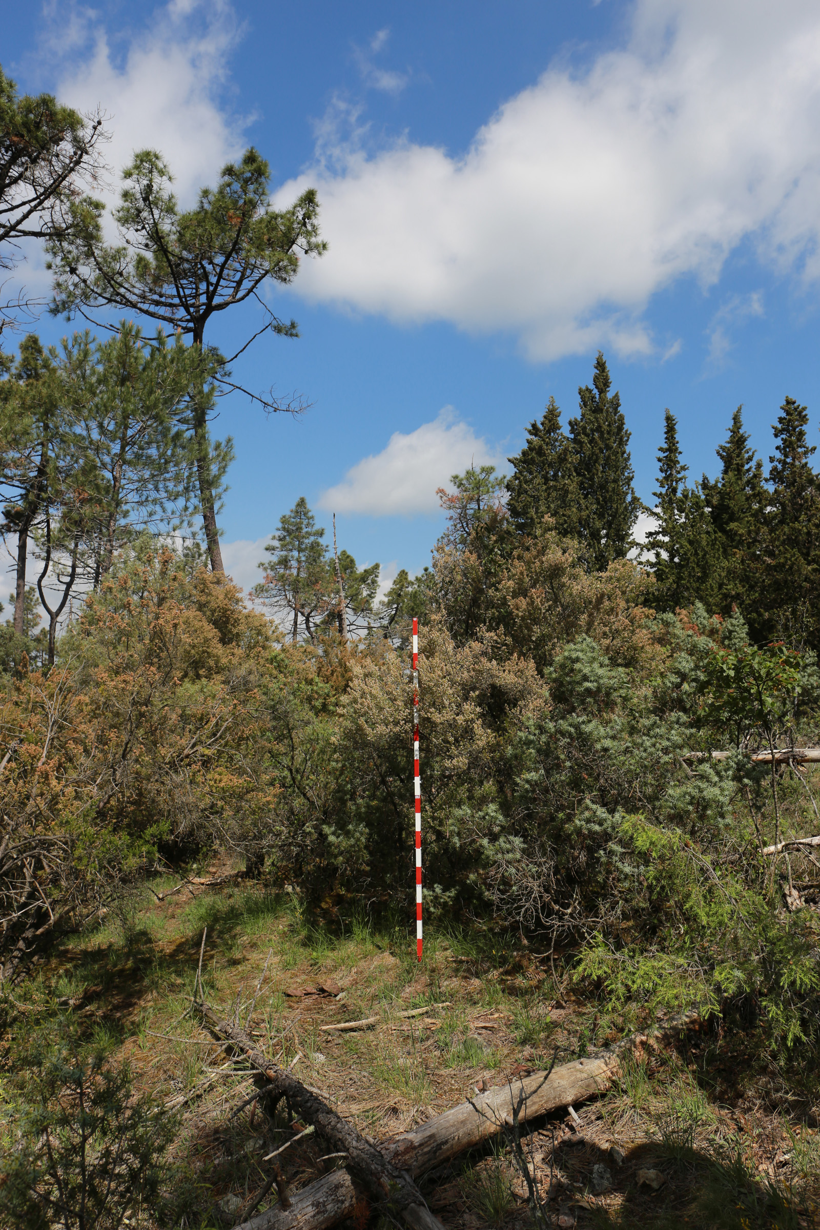
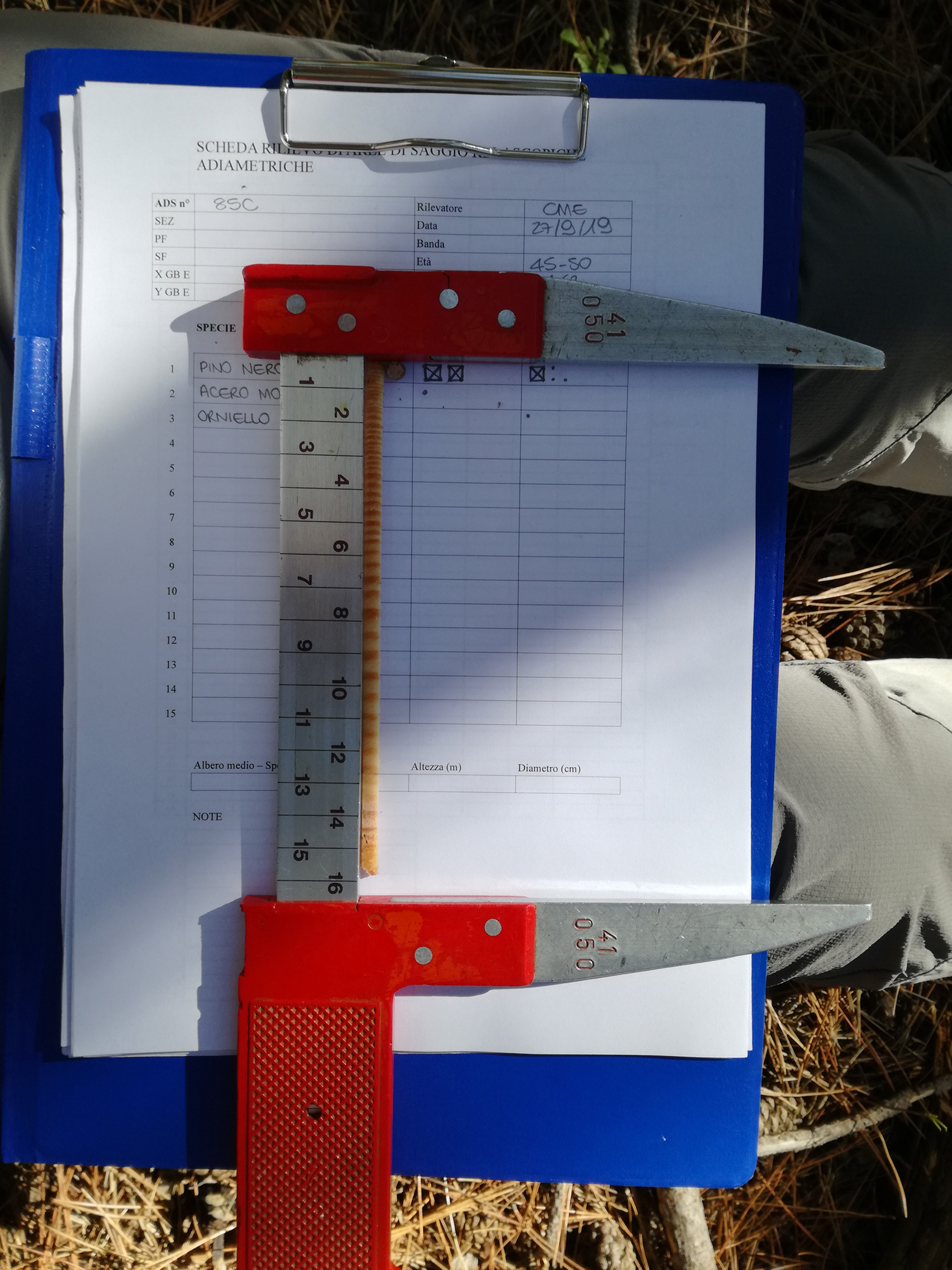
Forest inventory and statistical data processing based on field survey Our company is involved on training course on the National Forest Carbon Sink Inventory - INFC – 2nd and 3rd phase: ground surveys of the National Forest Ranger Corps surveys teams; quality control, validation of data acquired on field. R.D.M. is particularly involved in:
- Forest biomass inventories and accounting of CO2 in forest reservoirs (Kyoto Protocol, monitoring of GHG emissions due to land use related activities, land use change and forestry activities - LULUCF , REDD projects - Reducing Emissions from Deforestation and Forest Degradation - carbon credits).
- Topographic surveys using GPS techniques
- Surveys and monitoring of agricultural production
- Tree censuses
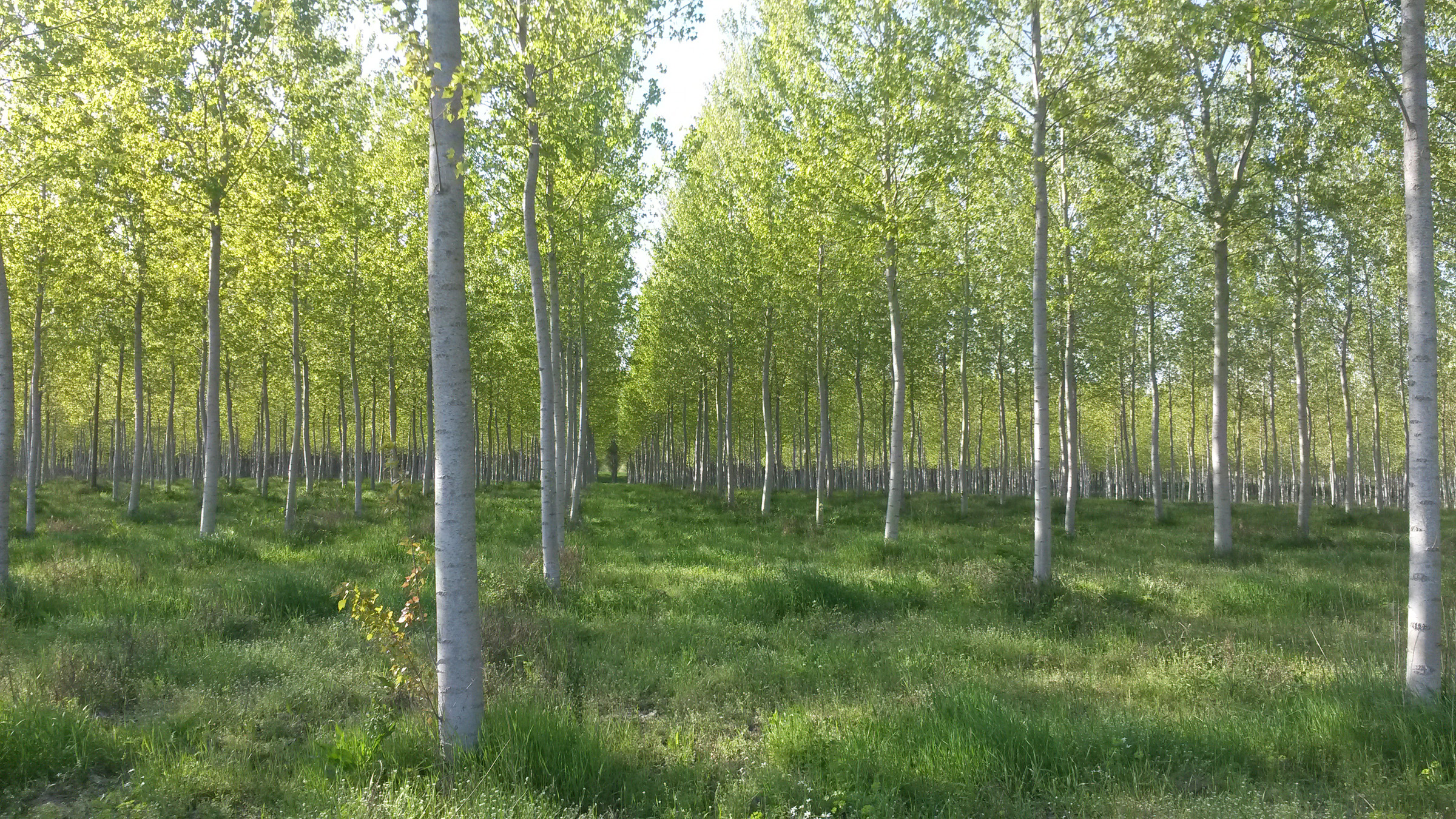
- Spatial and environmental surveys based on photo-interpretation of land use and in ground checks. Spatial statistics related to area estimates of the various permanent agricultural crops (olive groves, vineyards, poplar groves, etc.).
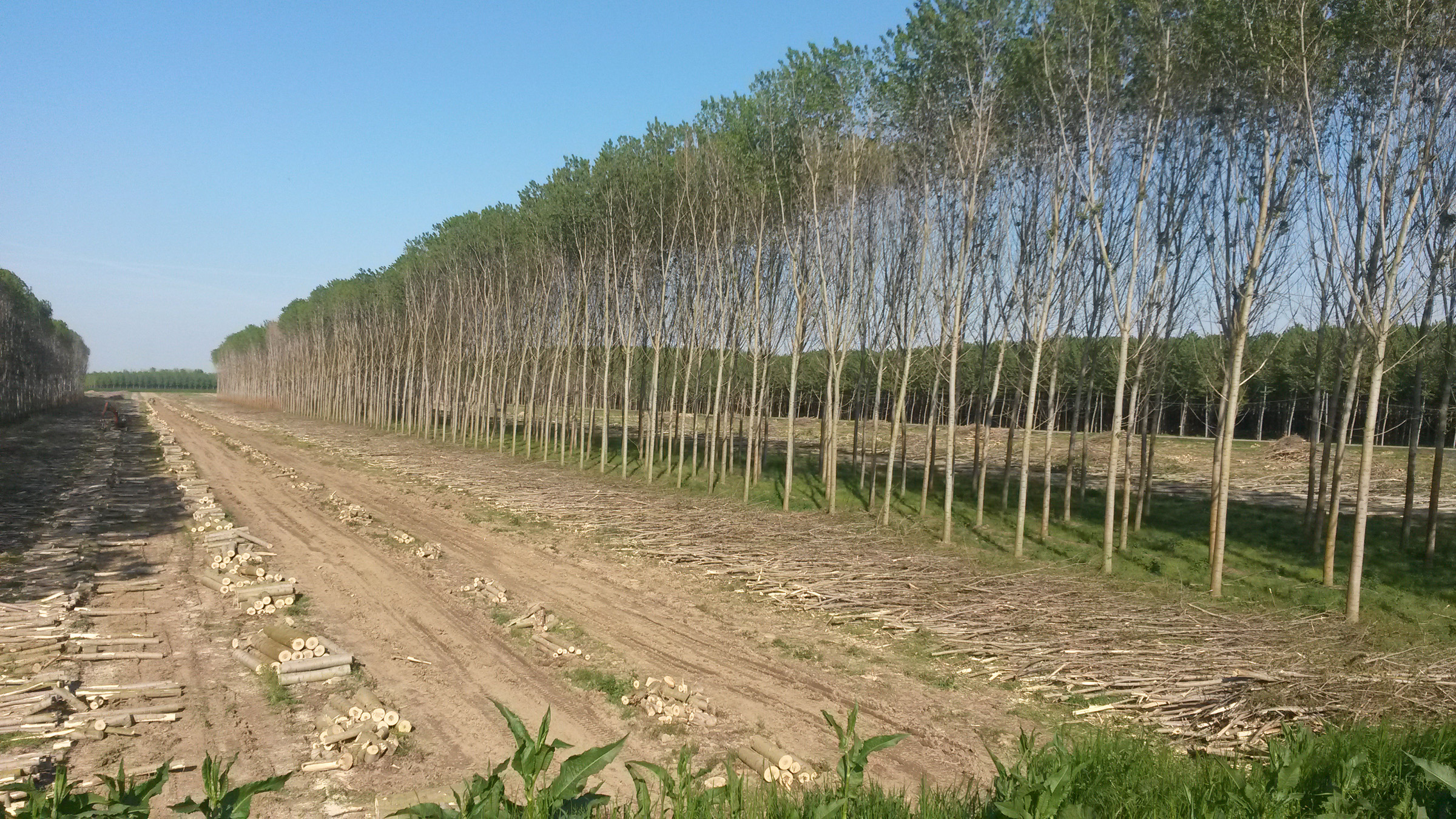
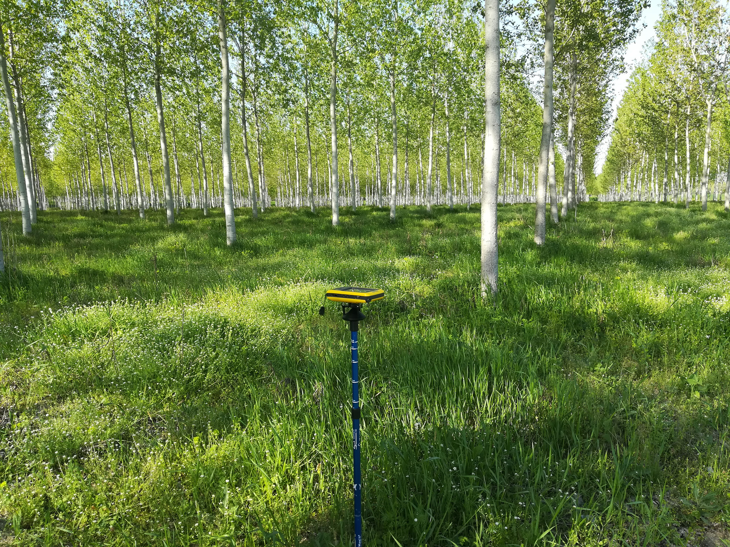
We collaborate closely with University Departments and Research Centers in conducting studies and surveys in the field of forest monitoring and planning and in particular in:
- investigations of forest carbon sinks
- development of procedures for software analysis and spatialization of inventory or remotely sensed data;
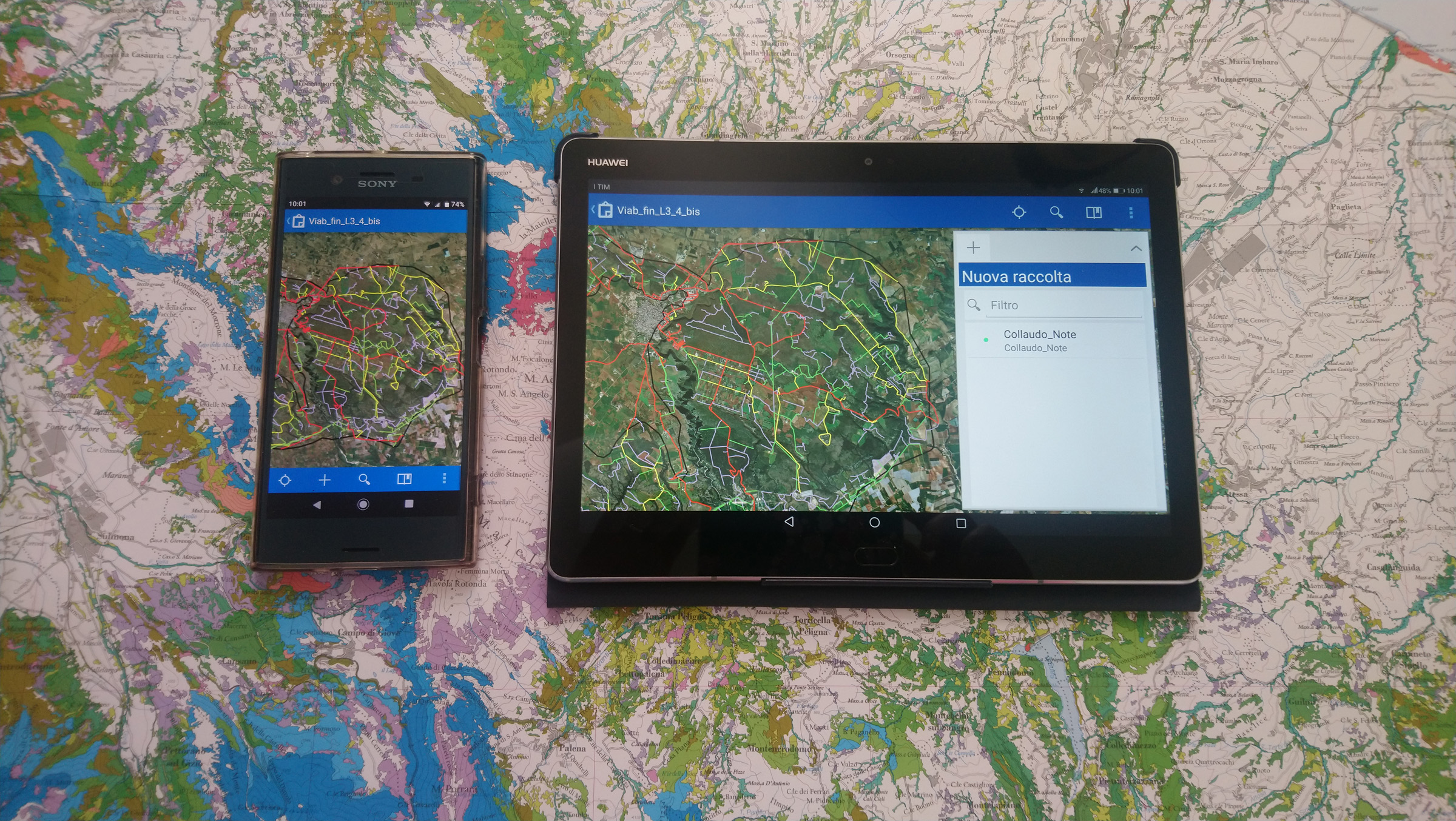
- study of the most modern applications and technologies concerning Geographical Information Systems (G.I.S.). Professional APPs that can be used in the new field survey modes by using tablets and/or handhelds, both on-line and off-line. Real-time data sharing among different survey team operators, back-up on dedicated web-server spaces, on-line data publishing.
R.D.M. Progetti offers many forestry certification services, on european regulations basis (e.g. FSC and PEFC standard)
Looking for:
- Private customer:
- Public authority:
- University: